|
Vertical resolution |
|
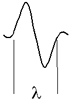
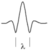
The vertical resolution of a seismic data sets describes how thin a layer can be before the reflections from its top and its bottom become indistinguishable. This depends upon the shape of the seismic source wavelet. The shape, or more particularly the signal wavelength depends upon the frequency and the velocity of the materials. Recall that wavelength = velocity * time.
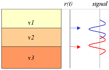
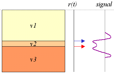
In fact, the theoretical minimum thickness is 1/4wavelength. In other words, careful processing can extract the pulses if they ovelap by half a wavelength, but this theoretical minimum is never really achieved in practice. How does this thickness in terms of wavelength translate into real distances? As noted above, wavelength depends upon frequency of the signal and on velocity of the medium. Therefore the vertical resolution of a survey depends upon both the signals used and the materials themselves. The following image with its table of velocities and frequencies illustrates.
Finally, recall that as energy propagates into the ground, higher frequencies attenuate faster than lower frequencies. Since seimsic signals consist of a range of frequencies (i.e. they have a broad spectrum), their spectral character will change as they travel. The result is that resolution of a survey is poorer at greater depths.
|